Boundary Surveys
We re-establish and confirm the exact boundaries of your land, resolve overlaps and settle disputes with neighbours using accurate field measurements and official records.
Duly registered land surveyors by both Land Surveyors Board and Institution Surveyors of Kenya servicing across all counties in Kenya — topographical surveys, subdivision(cadastral and general boundary)and lease & title deed support, delivered accurately and on time.
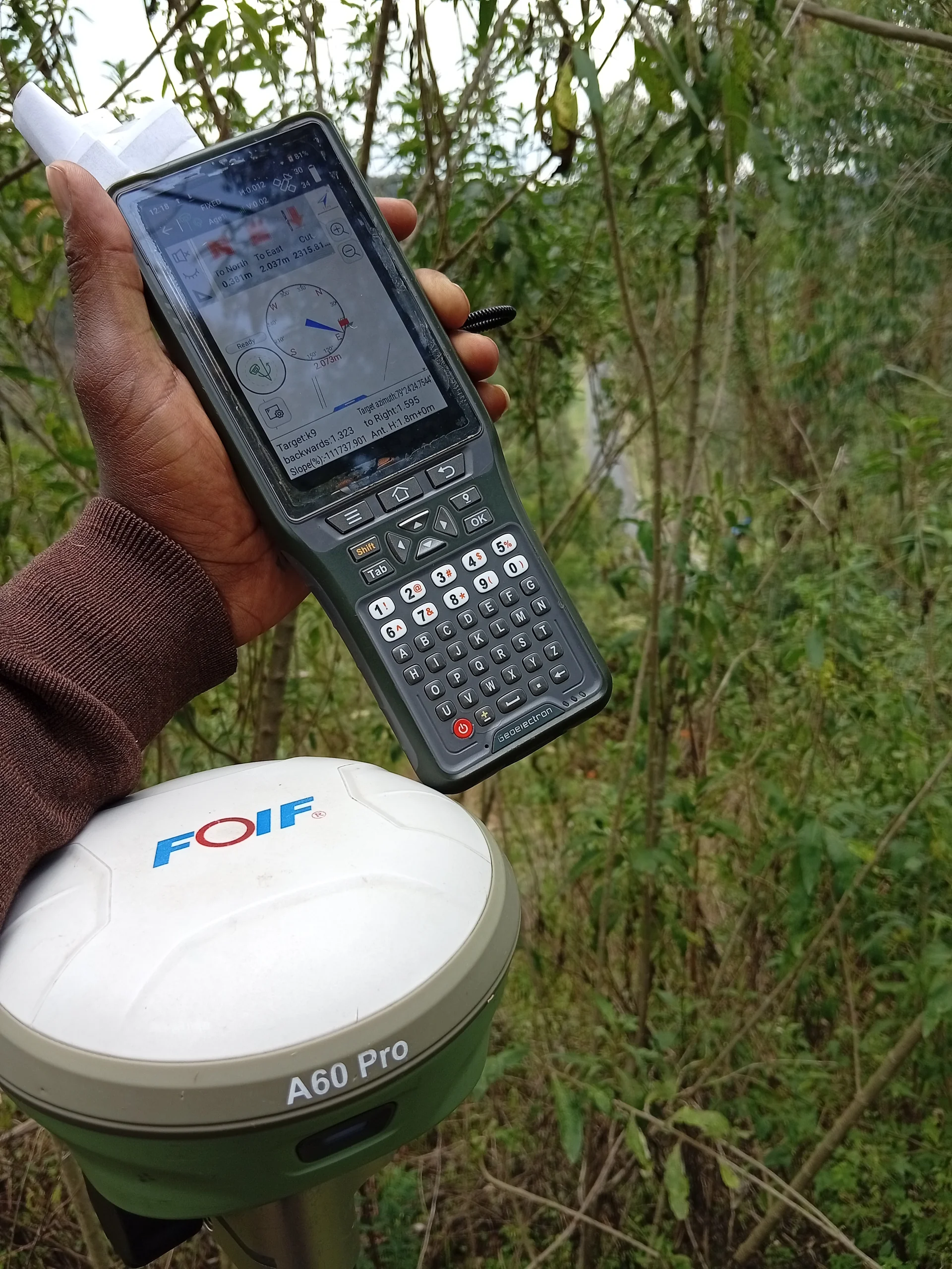
From a single plot to a full subdivision in countrywide, every job is measured on the ground and documented to survey standards.
We re-establish and confirm the exact boundaries of your land, resolve overlaps and settle disputes with neighbours using accurate field measurements and official records.
Splitting a parcel for sale, inheritance or development? We prepare the subdivision scheme, set out the new plots and produce the survey plans needed for approval.
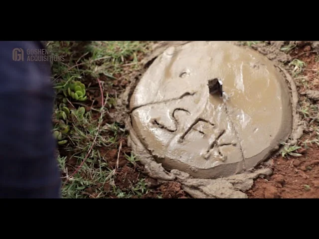
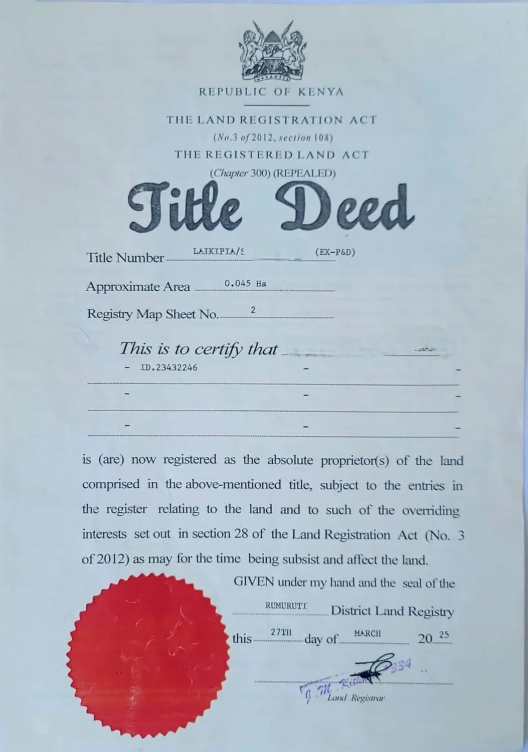
We place and document boundary beacons, then prepare the survey documents your title deed and land registry file require — properly signed, stamped and ready to submit.
Detailed ground levels, contours and site features for architects, engineers and contractors — the base data you need before designing a building, road or drainage system.
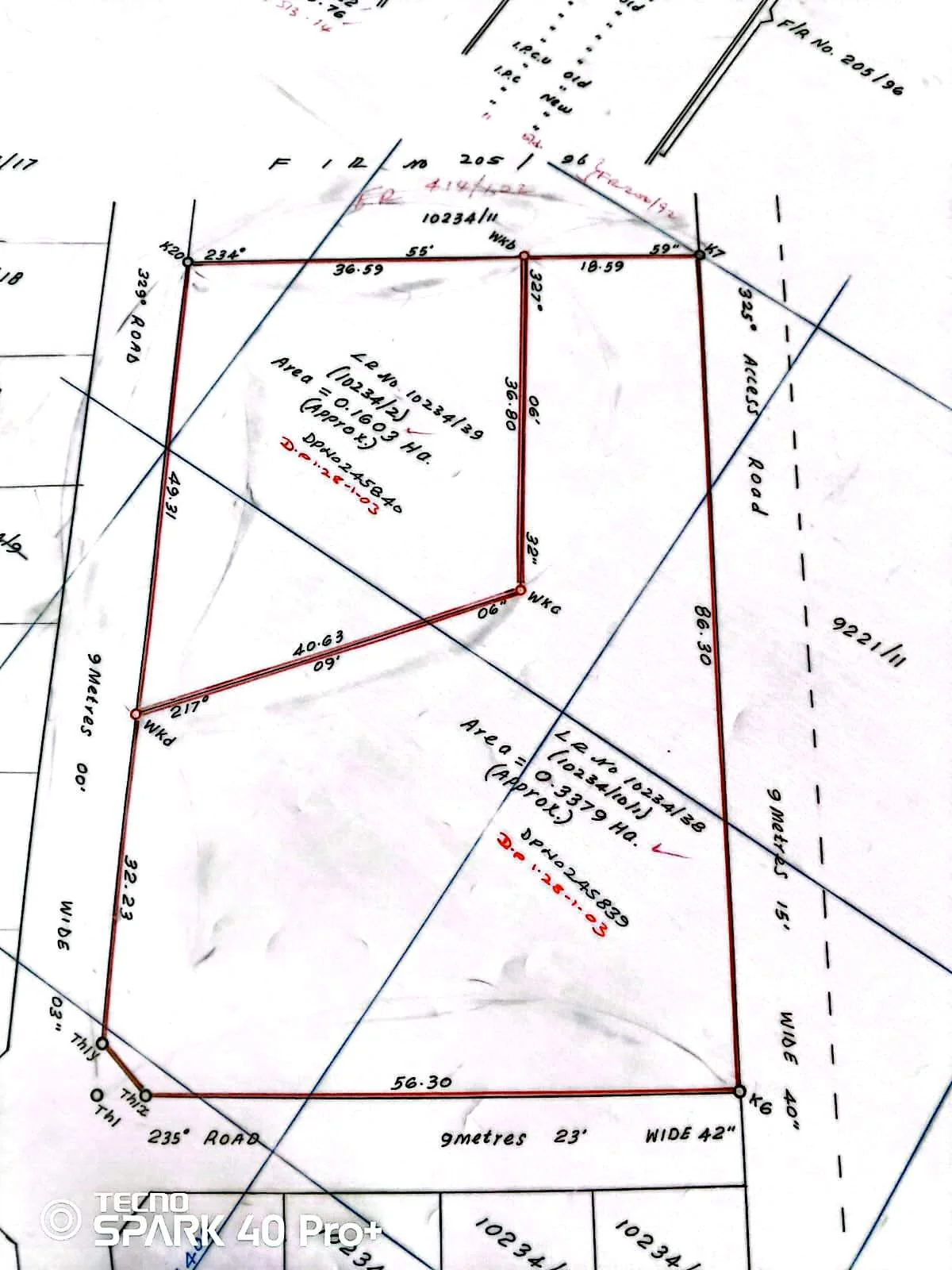
Preparation of mutation forms, Registry Index Maps and deed plans for land registry and county approval, with follow-up until your file is complete.
We peg and set out building lines, plot corners and access roads on site so construction starts exactly where the approved plans say it should.
Ground levels, contours and site features captured in detail — the base data architects, engineers and contractors need before designing a building, road or drainage system.
Cadastral survey and the full leasehold process handled end to end — field measurement, survey plans and the documentation needed to convert your land to leasehold and have it registered.
I am a registered and licensed land survey professional working out of Nyandarua County, serving landowners, farmers, developers and families across Naivasha, Nakuru, Laikipia and the rest of Kenya.
Land is the most valuable thing most families own, and boundary mistakes are expensive to undo. That is why every job starts with a records search and ends with a signed survey plan you can take straight to the land registry or county offices.
Whether you are buying a plot in Naivasha, subdividing family land in Nyandarua, or need a topographical survey before you build, you deal directly with the surveyor — not a middleman.
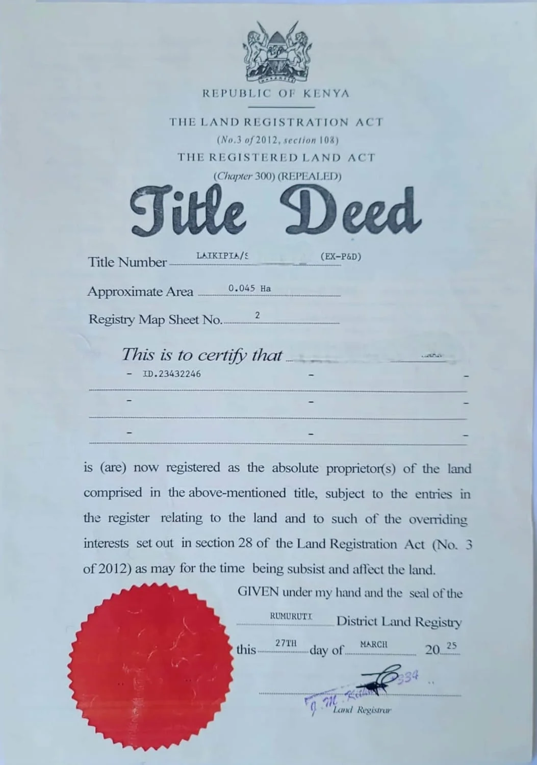
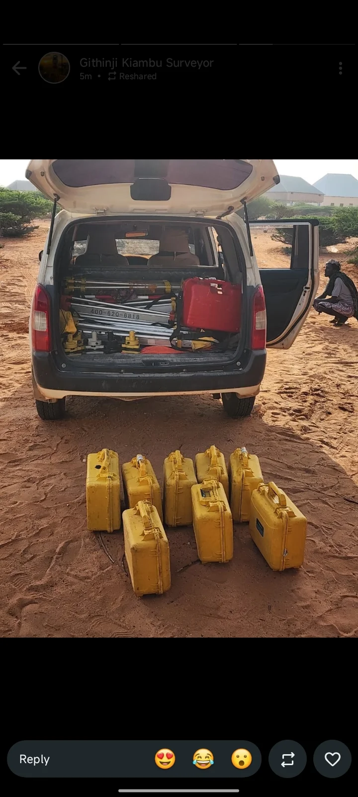
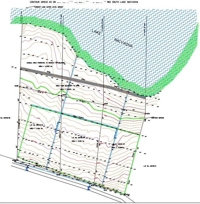
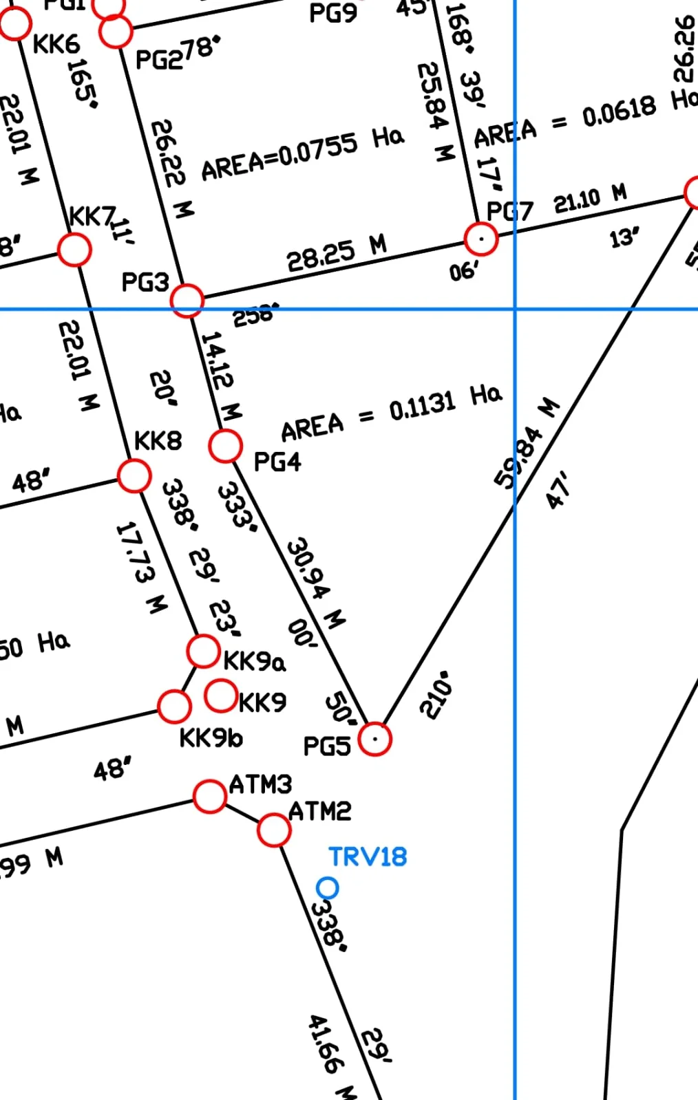
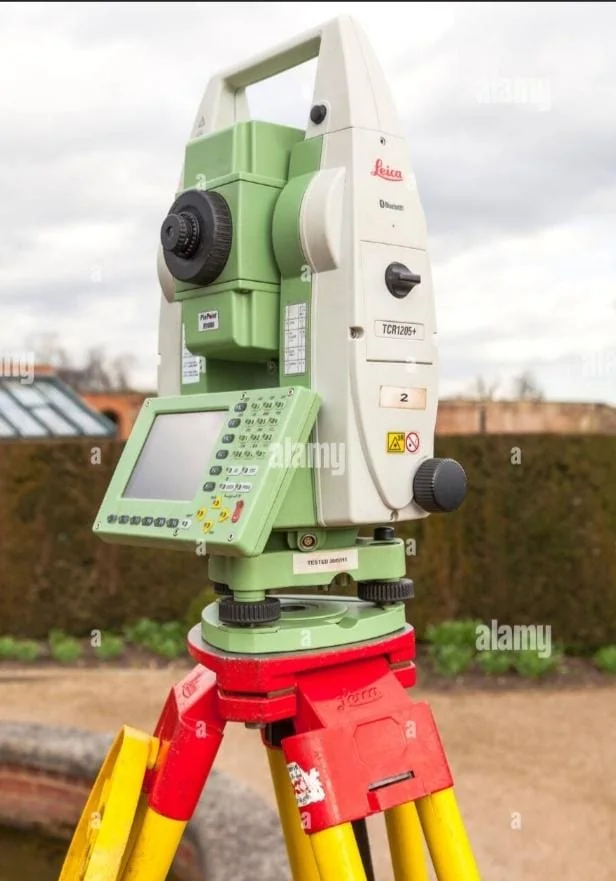
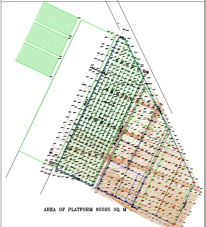
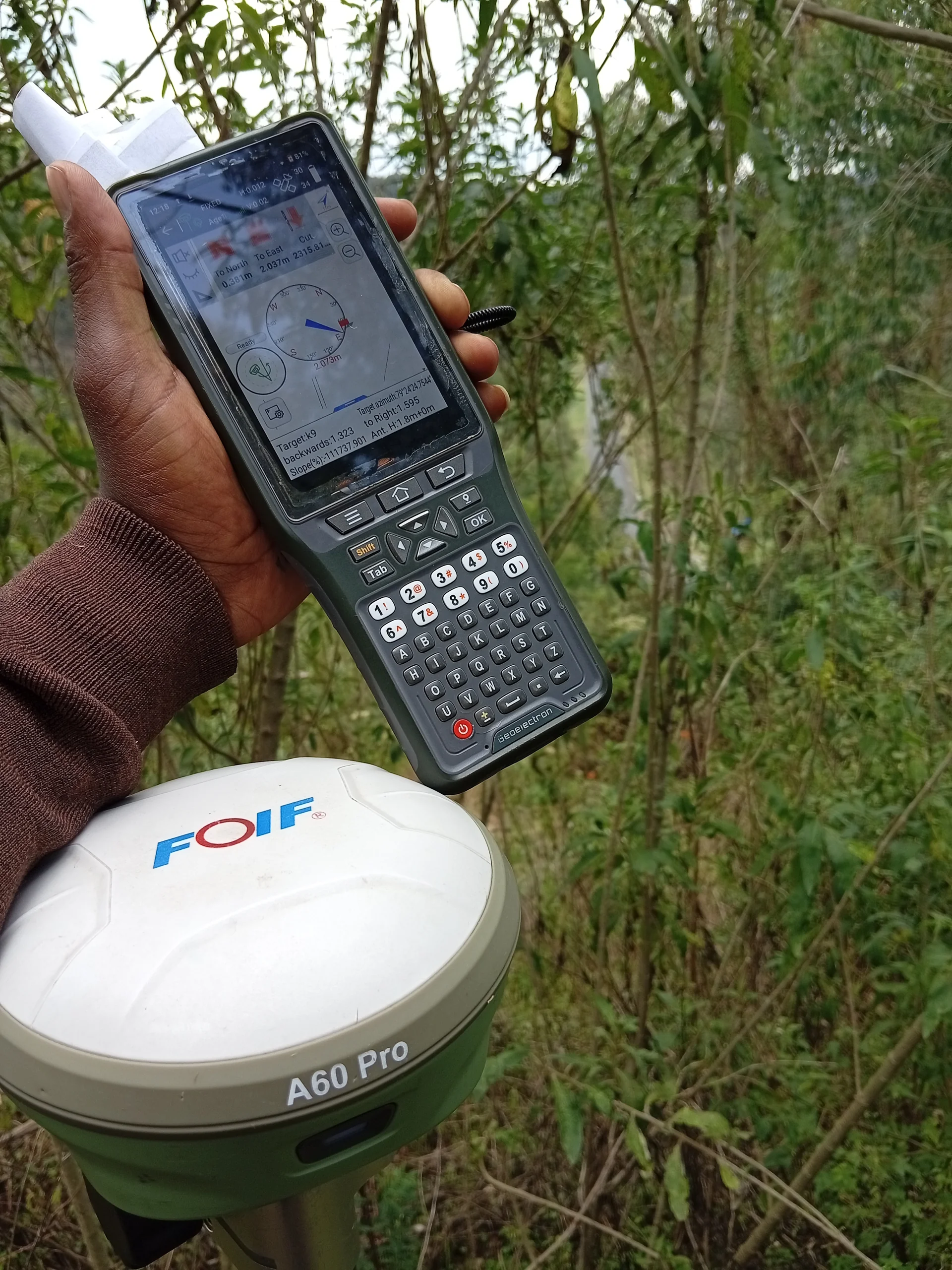
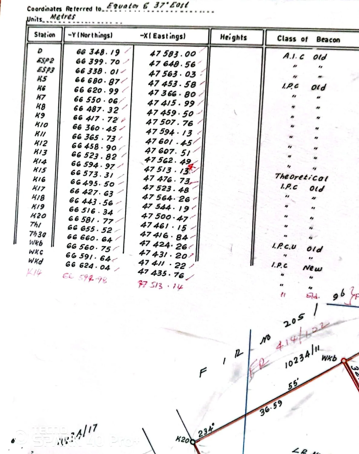
A look at the work — instruments, beacons, site plans and the land we survey every week.

Landowners, buyers and developers who have worked with us across Nyandarua and Naivasha.
Our family land in Nyandarua had been in dispute for years. The boundaries were measured properly, the beacons were placed, and the title came through without a single objection.
I bought a plot near Naivasha and needed it confirmed before paying. The survey was done within the week and the report was clear enough for my lawyer to rely on.
We subdivided twenty acres into eight plots. Everything was set out on the ground exactly as planned and the mutation plans were approved without back-and-forth.
Browse our products and checkout via WhatsApp.

Your cart is empty.
Tell me where the land is and what you need — a boundary check, a subdivision, beacons or a topographical survey. You will get a clear quote and a date for the field work.
Share the location and size of the land, and what you need done. I reply to every enquiry personally.